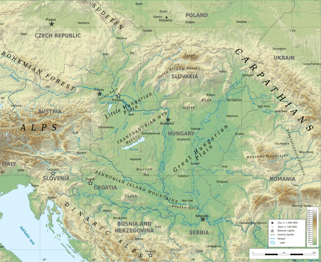
Assessing surface water quality in Hungary’s Danube basin using geochemical modeling, multivariate analysis, irrigation indices, and Monte Carlo simulation (SAEED et al., 2024)
https://www.nature.com/articles/s41598-024-69312-8


C. Mei-Ling HAMILTON – Environmental Geochemistry Issues
Earth and Environmental Science Research at Home and Abroad…
